SHENANDOAH COUNTY HIKING TRAILS
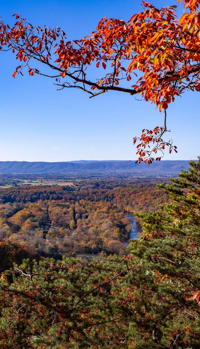
Shenandoah County is home to 178 miles of trails through the George Washington National Forest with spectacular views of the valley below, lush forests, the Shenandoah River, streams and wildlife. Below is a list of some favorite trails for all skill levels, including some handicap accessible trails. Trails are listed by location within the county. Click on the links for more information and directions.
Also check out ShenandoahValleyOutdoors.com to begin mapping out your trip of trails throughout the region.
EXIT 298, STRASBURG, ROUTE 11
- Buzzard Rock North (4 miles)
- East Massanutten Mountain Area Loop Trails
- Little Passage Creek
- Maneka Peak (8.6 miles)
- Massanutten Bike Loop (70 miles)
- Signal Knob (9.9 miles)
- Three Top Mountain (7.6 miles)
- Tuscarora- Bear Wallow Trail (3.15 miles)
EXIT 296, STRASBURG, US 55


EXIT 291, TOMS BROOK
- Tuscarora- Little North Mountain (8.2 miles)

EXIT 279, EDINBURG
- Buzzard Rock Hike (7 miles)
- Duncan Knob Hike (13 miles)
- Elizabeth Furnace Area Trails
- Kennedy Peak Trail (9.2 miles)
- Kerns Mountain Hike (12.5 miles)
- Mudhole Gap (12.7 miles)
- Veach Gap Hike (7 miles)
EXIT 273, MOUNT JACKSON/BRYCE RESORT


EXIT 264, NEW MARKET
CHECK OUT OUR INSTAGRAM profile and follow us for your next adventure

There’s Only One Shenandoah County
in the Shenandoah Valley! We invite
you to visit Shenandoah County as
your next vacation destination.